


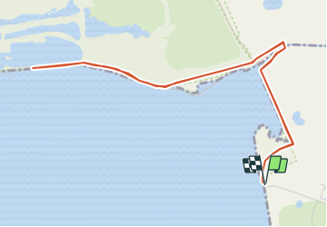

8 km | 8.4 km-effort


Autour de la Baie à pieds


FREE GPS app for hiking
 SityTrail
IGN / Geographical institutes
SityTrail World
The world is yours!
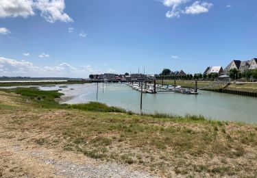
Trail Walking of 6 km to be discovered at Hauts-de-France, Somme, Le Crotoy. This trail is proposed by BAIE de SOMME & alentours.
Parking de la Maye. A faire uniquement à marée basse et avec des petites hauteur d'eau (petit coefficient). Le Passage du pont sur la Maye est difficile et glissant si humide.
source : https://www.somme-tourisme.com/la-reserve-naturelle-nationale-de-la-baie-de-somme/le-crotoy/randopic08000015


Walking

Walking

Equestrian

Cycle

Walking
Walking
Road bike
Walking

Walking
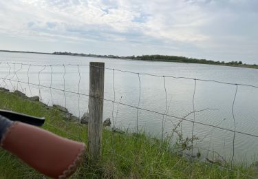
ATTENTION une partie du circuit traverse la réserve naturelle nationale de baie de Somme avec sa réglementation propre notamment l'interdiction des chiens toute l'année et interdiction de déranger la faune
Attention la réserve est interdite aux chiens